|
These two photos
were available on Ebay to be
purchased several years ago, and according to the
seller it was written on the back of
these photo postcards that they were taken
at "Elizabeth, PA- Alleghany " and
taken in 1908.
I am searching
for additional information to verify
the location as written on these
postcards, any help is appreciated.


I have received
responses from different individuals
knowledgeable enough to give an
opinion on the possible locations of
these two postcards which I have
posted below.
*
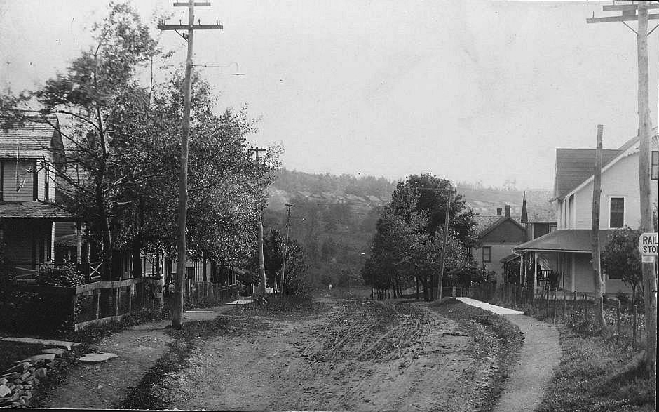
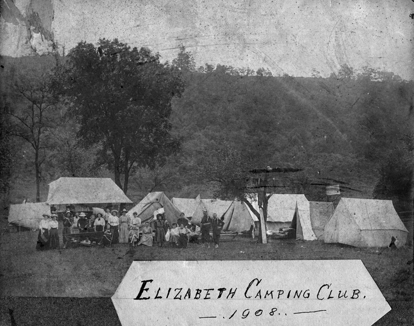
Photo 1 --"The
steep street with hill in background
would be Bayard heading west. I
don't recall a narrowing but it had
an S curve at top where it came off
Williamsport Rd."
* "think they are in the location
of the Marine Ways. The hillside
is probably across the river,
The sign about the RR also fits."
*
"The RR sign may refer to a
Street Car crossing and not a
Train crossing, if this sign
does refer to streetcar tracks
then the photo could not be of
Elizabeth as I am told that
Elizabeth never had streetcar
tracks."
*
"I look at the first photo and
think of Center as it starts to
head down towards the town but
then the RR sign does not seem
to fit this location."
*
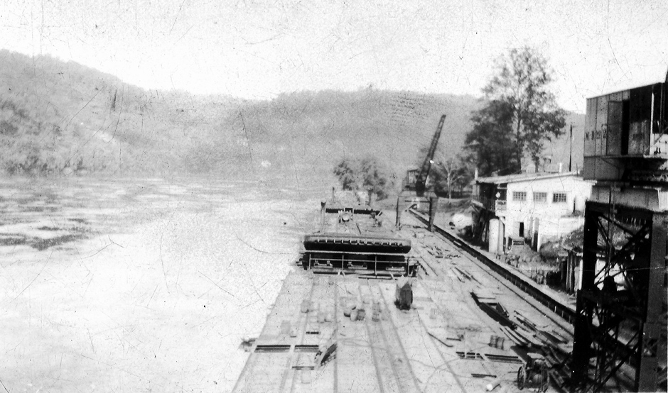
Photo
2 -- "Does
the first photo reflect what
one would have seen in the early
1900's
when looking toward the river down
Church Street?"
* "the second photo seems to match
the little settlement between
Boston
and Sutersville that we've seen
when riding bikes on the rails
with trails."
*
"the only church this size on
ground level with steeple could
have been the one on Church St.
leading to the Ways, otherwise
if might be the original St.
Michaels"
Please send
me your thoughts and comments
to:
jwmohney "at" comcast "dot"
net please change "at" to
@ and "dot" to . |