CO Historical County Lines
Return to HISTORICAL COUNTY LINES home page
AL
AK
AR
AZ
CA
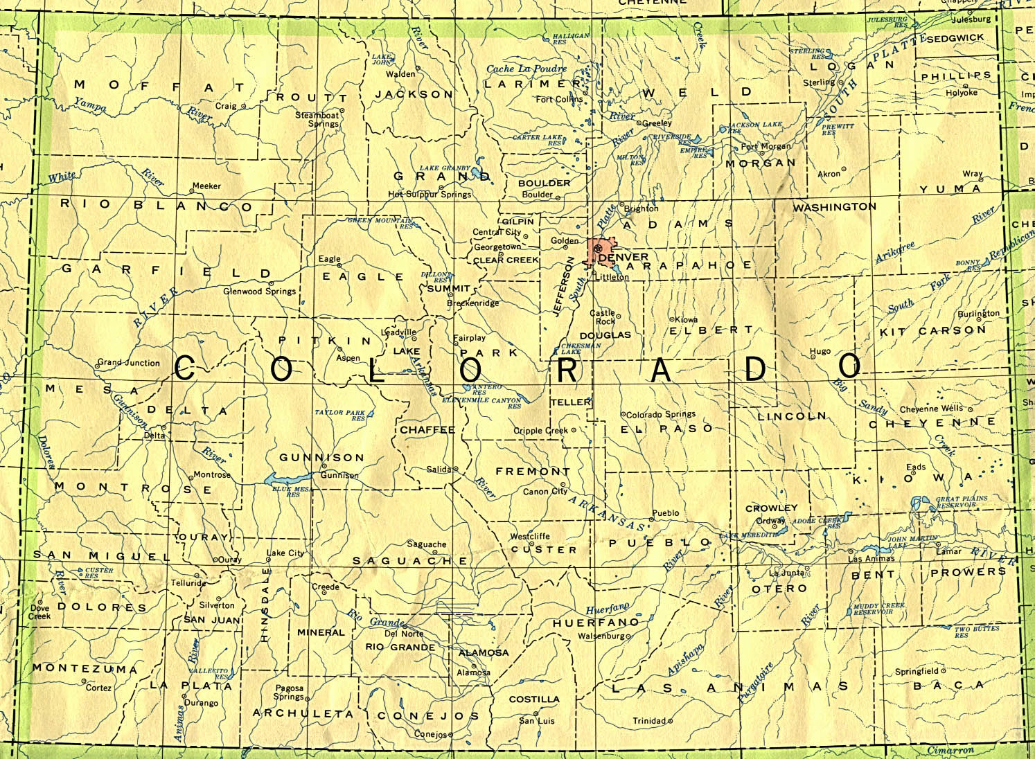
CO
CT
DE
DC
FL
GA
HI
ID
IL
IN
IA
KS
KY
LA
ME
MD
MA
MI
MN
MS
MO
MT
NE
NV
NH
NJ
NM
NY
NC
ND
OH
OK
OR
PA
RI
SC
SD
TN
TX
UT
VT
VA
WA
WV
WI
WY
Off-line site accessed via
Archive.org
. Note: These are
not
live sites.
COLORADO
Historical Maps of Colorado
. 23 maps showing Colorado counties from 1854 to the present. Good info on land legal descriptions.
Colorado, Utah, New Mexico, and Arizona" by Warner and Beers, ca. 1874
. From
Northern Arizona University
From Univ. of Alabama
Historical Map Index
:
Historical maps of Colorado
From
American Memory at Library of Congress
:
Colorado 1879
USGenWeb Colorado Digital Map Library
1885 and 1895 large maps plus others of interest.
From Pam Rietsch's
1895 Atlas site
Index to City/Town data
State map
County maps
Mitchell's 1872 Colorado map
from Pam Rietsch (she of the
1895 atlas). From
1872 County Map of Colorado, Dakota, Indian Nations, Kansas, Montana, Nebraska & Wyoming
From
Univ. of Texas Library
Colorado maps.
B&W county outline map, 1990
Counties, county seats and streams, 1990
Continue to Connecticut
State menu
Main page
Your suggestions for links are most welcome. Send email to
John Robertson
.
All links verified with
LinkChecker
FireFox extension
2/7/2007 10:06AM
 Off-line site accessed via Archive.org. Note: These are not live sites.