DE Historical County Lines
Return to HISTORICAL COUNTY LINES home page
AL
AK
AR
AZ
CA
CO
CT
DE
DC
FL
GA
HI
ID
IL
IN
IA
KS
KY
LA
ME
MD
MA
MI
MN
MS
MO
MT
NE
NV
NH
NJ
NM
NY
NC
ND
OH
OK
OR
PA
RI
SC
SD
TN
TX
UT
VT
VA
WA
WV
WI
WY
Off-line site accessed via
Archive.org
. Note: These are
not
live sites.
DELAWARE
County Formation Maps
from
Northeastern Genealogy Online
.
St. Mary's Co. MD USGenWeb page
MD/DE 1642, 1650, 1658 (
Gold Bug
). You will need to click on "back" to get back here. To get to the current host page, you need to go
here.
From Univ. of Alabama
Historical Map Index
:
Historical maps of Delaware
Delaware 1775-1830 Map
from
Delaware Genealogical Society
Virginia ~ Maryland ~ Delaware ~ 1835
, Thomas Gamaliel Bradford of Boston Massachusetts, 1835. From TNGenWeb
Maps our Ancestors Followed
Delaware Hundreds Map Images From the Pomeroy and Beers Atlas 1868
, .pdf, large, from
Delaware Geological Survey
From
American Memory at Library of Congress
:
Delaware 1899
From Pam Rietsch's
1895 Atlas site
Index to City/Town data
State map
County maps
From
Univ. of Texas Library
Delaware maps.
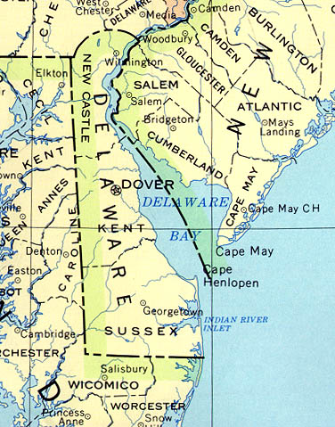
B&W county outline map, 1990
Counties, county seats and streams, 1990
Continue to District of Columbia
State menu
Main page
Your suggestions for links are most welcome. Send email to
John Robertson
.
All links verified with
LinkChecker
FireFox extension
2/7/2007 10:14AM
 Off-line site accessed via Archive.org. Note: These are not live sites.