 Off-line site accessed via Archive.org. Note: These are not live sites. Off-line site accessed via Archive.org. Note: These are not live sites.
KENTUCKY
- Animated Kentucky County Formation maps:
from KY Secretary of State
- USGenWeb Digital Map Library for Kentucky. Large maps for Kentucky 1835 and 1850, plus a number of other maps of interest.
- County Formation Maps
from Southeastern Genealogy Online.
- List of KY counties and their dates of formation.
 From Univ. of Alabama Historical Map Index: From Univ. of Alabama Historical Map Index:
- Formation of KY counties
- KY 1784, 1785, 1788, 1792, 1793, 1797, 1799, 1824, 1827, 1833
and 1834. from Edward Hayden, coordinator for Bourbon, Marion,
Nelson and Washington Co. KY USGenWeb pages (Gold Bug). Also, found here
.
- TN and KY
1835 Large (311K) from Thomas Bradford atlas published in Boston.
From The Maps
Our Ancestors Followed A TNGenWeb genealogy history project.
 From Pam Rietsch's 1895 Atlas site From Pam Rietsch's 1895 Atlas site
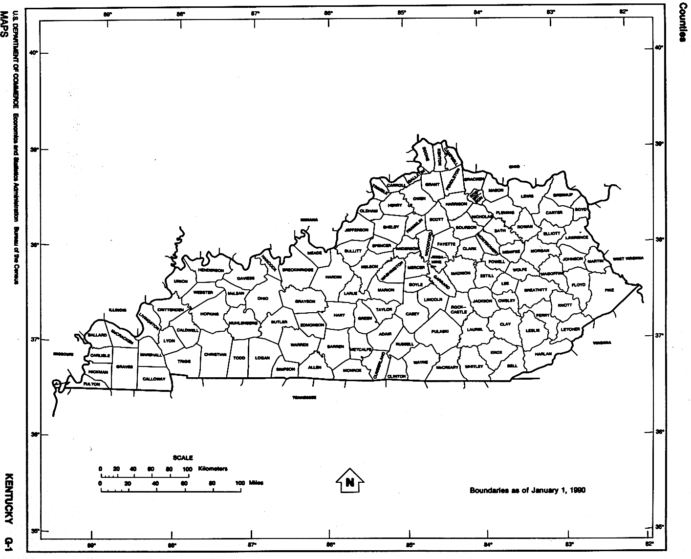
 From Univ. of Texas Library Kentucky maps. From Univ. of Texas Library Kentucky maps.
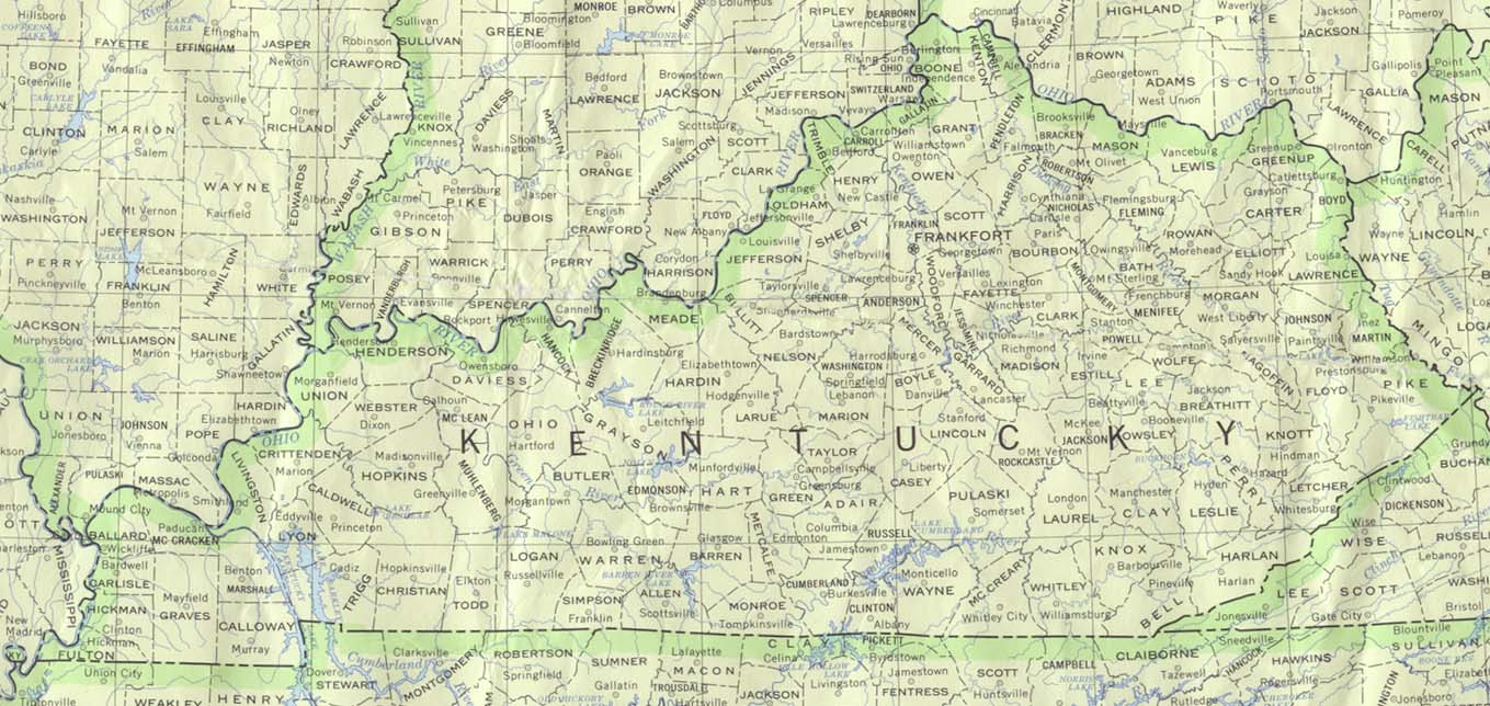
- Kentucky Atlas and Gazetteer. Excellent for modern locations.
Continue to Louisiana
State menu
Main page
Your suggestions for links are most welcome.
Send email to John Robertson.
|
