 Off-line site accessed via Archive.org. Note: These are not live sites. Off-line site accessed via Archive.org. Note: These are not live sites.
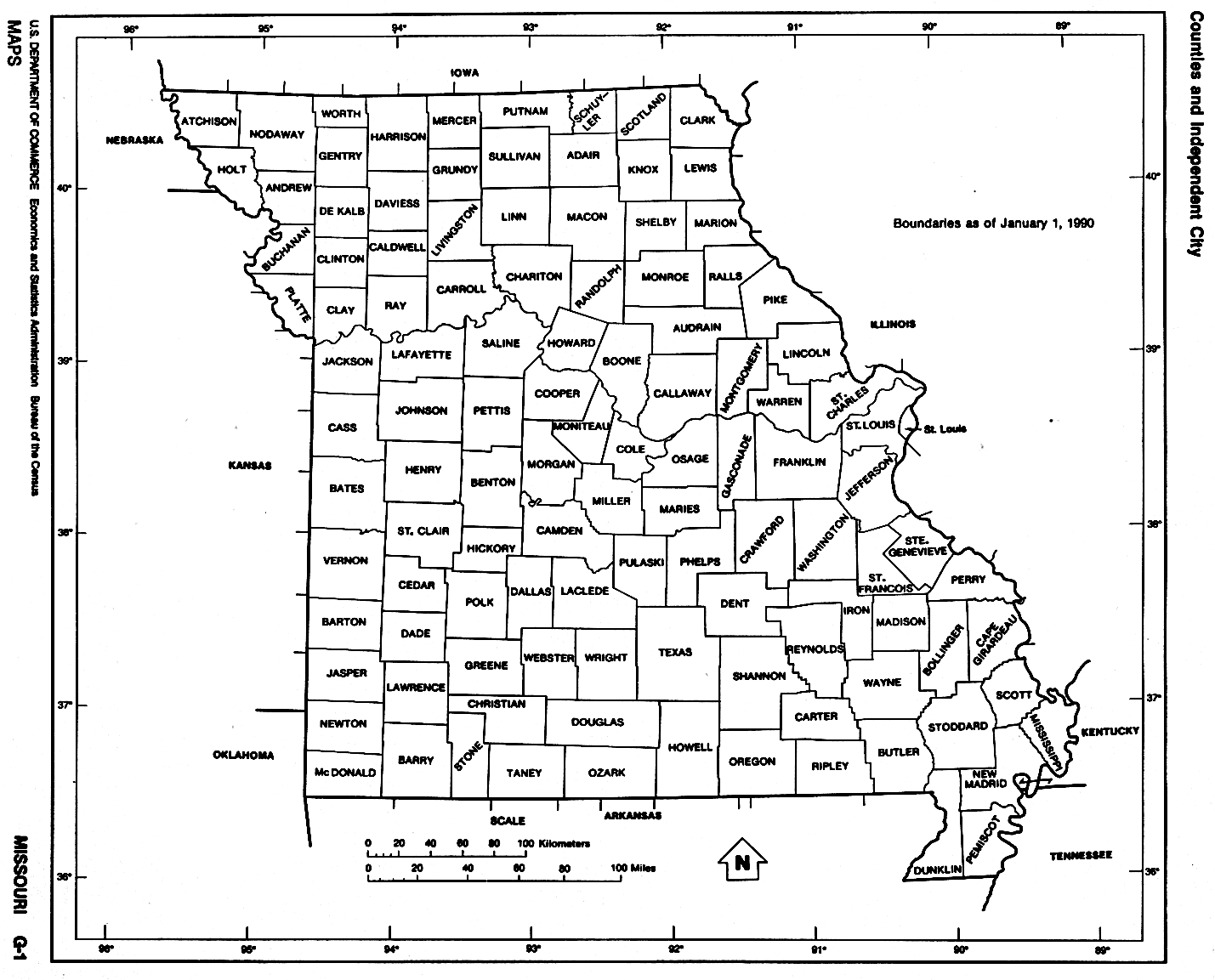
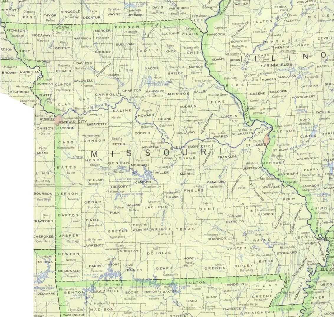
MISSOURI
- Interactive map, from Atlas of Historical County Boundaries, Newberry Library. Close window (click red X button, the lower if there are 2) to return.
[For advanced users only: Download zipped folder containing the following files for each state: 1 shapefile (polygons) for use with GIS programs (requires special mapping s/w), a database (MS Access required), and at least 3 supplemental texts (HTML documents).]
- County Formation Maps
from Southeastern Genealogy Online.
- Missouri - Geography & Maps. 26 maps.
 From Univ. of Alabama Historical Map Index: From Univ. of Alabama Historical Map Index:
 From American Memory at Library of Congress: From American Memory at Library of Congress:
- MO GenWeb
page MO as territory and before: 1804,1812,1813,1816. As state:
1821, 1834, 1841, 1845 and 1860. Click "back" to return
here.
- USGenWeb Digital Map Library for Missouri. Missouri 1887, 1908. Good statewide modern township maps.
- Barton Co.
MO USGenWeb page MO 1821, 1833 (Gold
Bug). You will need to click on "back" to get back here.
To get to the host page, you need to go here.
- Saline Co.
MO USGenWeb page MO 1821 and 1833. Click "back" to return
here.
 From Pam Rietsch's 1895 Atlas site From Pam Rietsch's 1895 Atlas site
 From Univ. of Texas Library Missouri maps. From Univ. of Texas Library Missouri maps.
Continue to Montana
State menu
Main page
Your suggestions for links are most welcome.
Send email to John Robertson.
|
