 Off-line site accessed via Archive.org. Note: These are not live sites. Off-line site accessed via Archive.org. Note: These are not live sites.
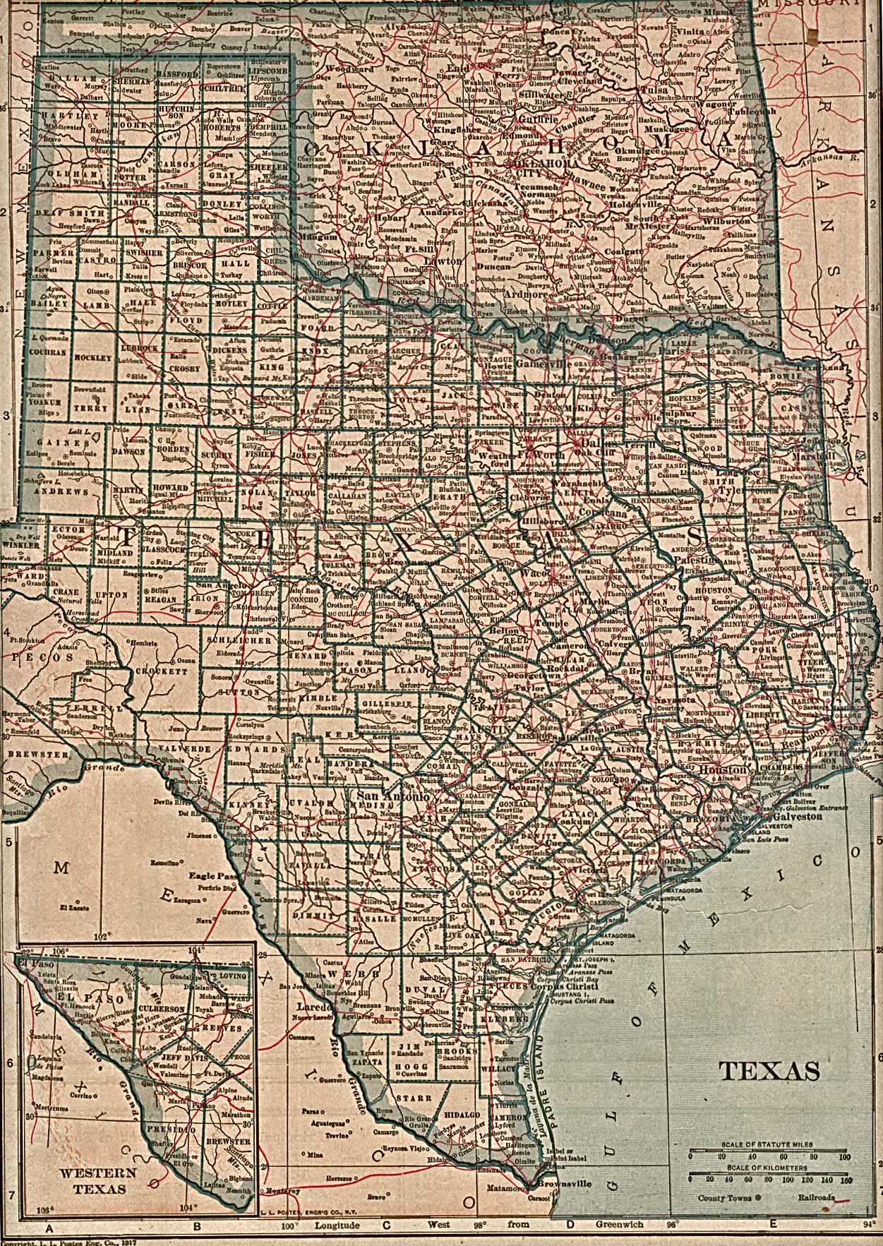
TEXAS
- County Formation Maps
from Southeastern Genealogy Online.
 From Univ. of Alabama Historical Map Index: From Univ. of Alabama Historical Map Index:
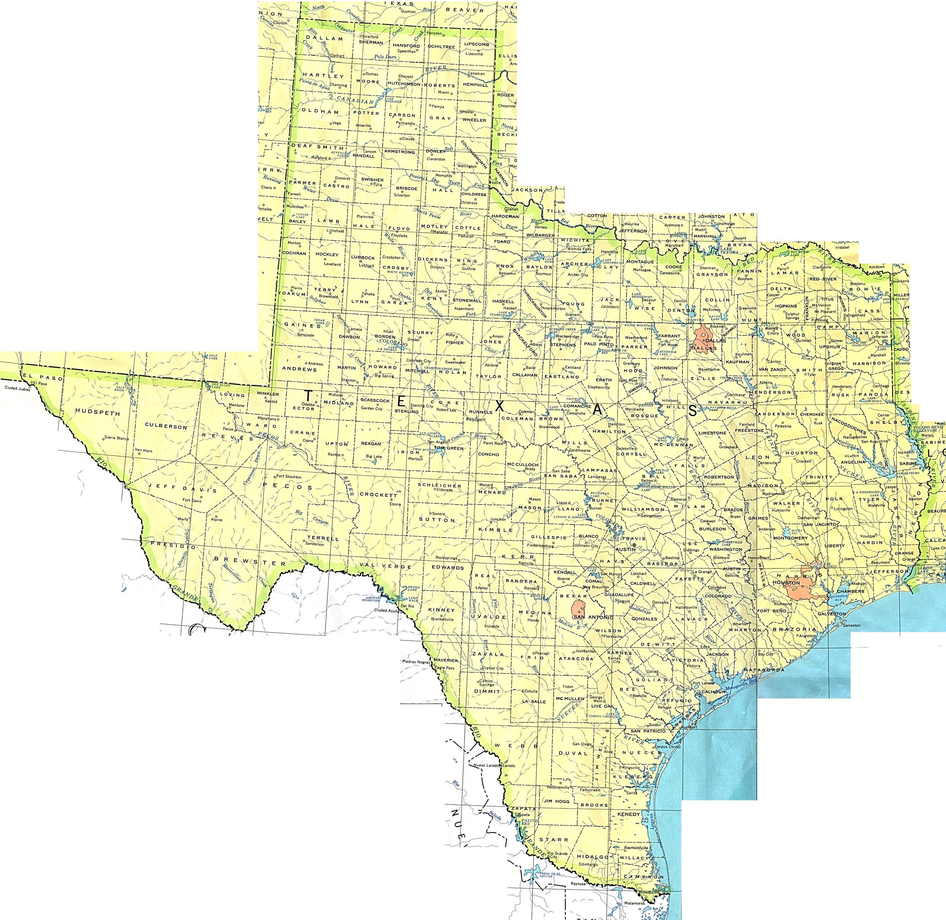
- USGenWeb Digital Map Library for Texas. Texas 1844. Maps of all modern counties.
 From American Memory at Library of Congress: From American Memory at Library of Congress:
- Blanco County TX USGenWeb website.
County formation maps:
1836, 1840, 1850, 1860, 1870, 1880, 1890, 1900, 1910, 1920, 1930
- From former Blanco County TX USGenWeb webside: 1862 counties map
- From the old
Chambers
Co. TX USGenWeb page Texas for 1858. (Gold Bug).
- Liberty
Co. TX USGenWeb page Texas for 1834, 1835, 1846, 1858 and 1870 (Gold Bug). You will need to click on
"back" to get back here.
- Polk Co. TX
USGenWeb page TX 1846, 1870 (Gold
Bug). You will need to click on "back" to get back here.
To look at the host page you will need to go here
- El Paso Co.
TX USGenWeb page TX 1849, 1850, 1887, 1911, 1913, 1917 (Gold Bug). You will need to click on
"back" to get back here. To look at the host page you will
need to go here
- San Jacinto
Co.TX USGenWeb page TX 1870 (Gold
Bug). You will need to click on "back" to get back
here.
- Tyler
Co.TX USGenWeb page TX 1846 and 1858 (Gold Bug). You will need to click on
"back" to get back here. Host page.
-
Animap maps formerly on the Washington County TX USGenWeb website:
1834
1837
1841
1852
1874
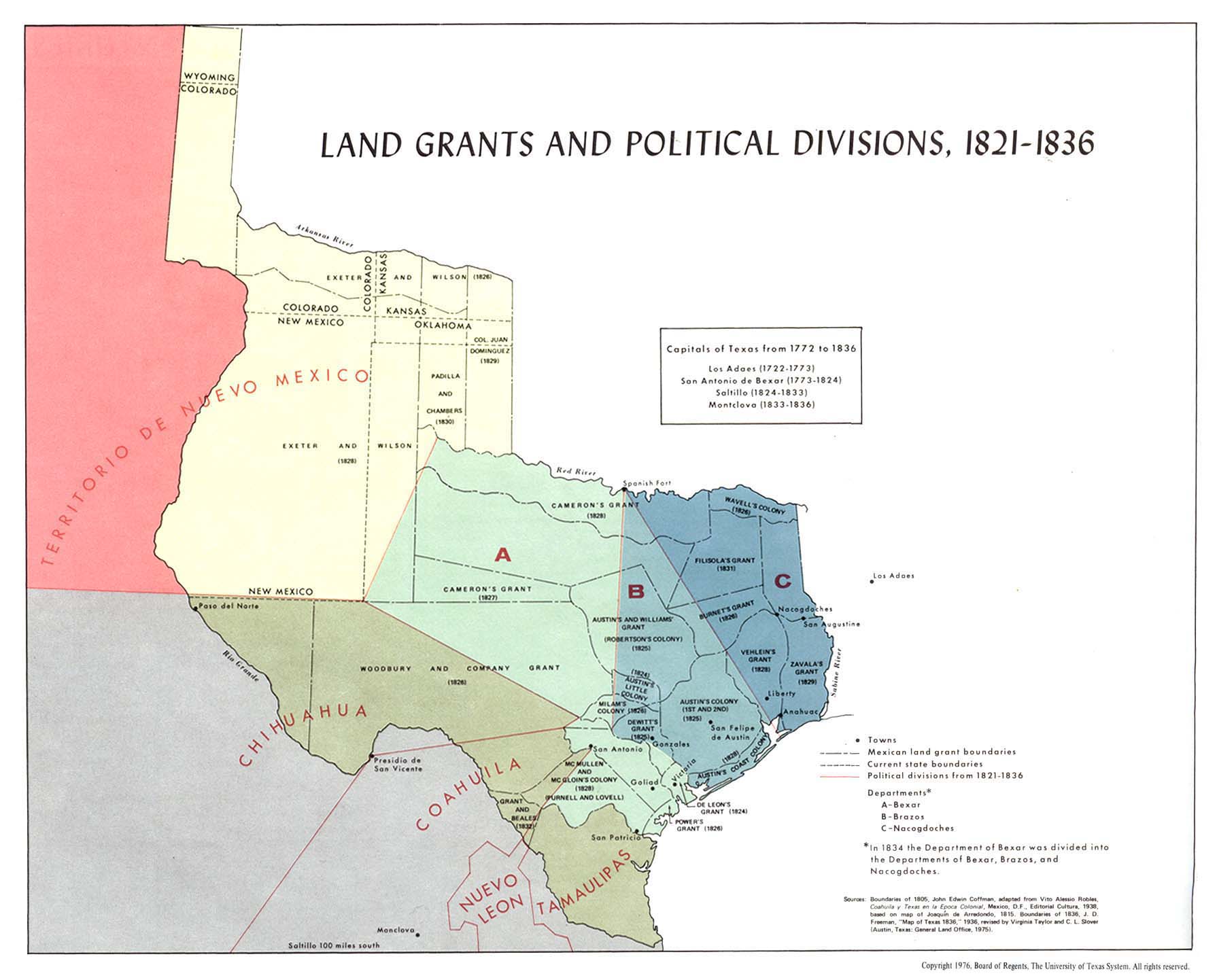
- Empresario Grants Coahuila y Tejas 1825-1832. Click on "2X".
 From Pam Rietsch's 1895 Atlas site From Pam Rietsch's 1895 Atlas site
 From Univ. of Texas Library Texas maps. From Univ. of Texas Library Texas maps.
- Texas General Land Office Map Collection
Continue to Utah
State menu
Main page
Your suggestions for links are most welcome.
Send email to John Robertson.
|
