 |
Ros
Davies' Co.
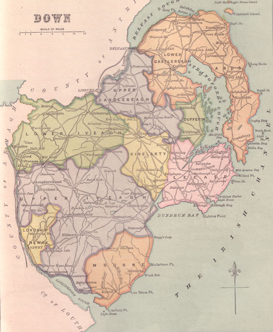
Down, Northern Ireland Family History Research Site Townlands in Kilkeel Parish |
 |
Key below

| 1. Aghyoghill | 21. Attical | 37. Aughnahoory | 31. Aughnaloopy | 22.Aughrim | 46a. Ballaghanery Upper |
| 46b. Ballaghanery | |||||
| 34a. Ballinran | 25. Ballyardel | 7.Ballygowan | 36.Ballykeel | 3. Ballymadeerphy | 17. Ballymagart |
| 34b. Ballinran Upper | |||||
| 20. Ballymageough | 42.Ballymartin | 26. Ballynahatten | 18. Ballyrogan/ Mourne Park | 41a.Ballyveagh more | 10a. Benagh Upper |
| 41b. Ballyveaghmore Upper | |||||
| 41c. Ballyveaghbeg | |||||
| 41d. Ballyveaghbeg Upper | 10b. Benagh Lower | ||||
| 40a.Brackenagh East | 35a.Carrigenagh | 9. Corcreaghan | 12.Cranfield | 28. Derryogue | 30.Drumcro |
| 40b.Brackenagh East Upper | |||||
| 40c. Brackenreagh West | |||||
| 40d. Brackenreagh West Upper | 35b. Carrigenagh Upper | ||||
| 24.Drumindoney | 6. Drummanlane | 16. Drummanmore | 23. Dunnaman | 27. Dunnaval | 45a.Glasdrumman Upper |
| 45b. Glasdrumman | |||||
| 5a.Glenloughan | 13.Grange | 11. Greencastle | 4a. Guineways | 38. Kilkeel | 33a.Leitrim |
| 5b.Glenloughan Upper | 4b.Guineways Upper | 33b. Leitrim Upper | |||
| 2a.Lisnacree | 14.Lurganconary | 15. Lurganreagh | 29.Magheramurphy | 39.Maghereagh | 8.Maghery |
| 2b. Lisnacree Upper | |||||
| 43a. Moneydarragh Beg & Moneydarragh | 32a. Moyad | 44a.Mullartown Upper | 19. Tullyframe | . | . |
| 43b.Moneydarragh More Upper | |||||
| . | 32b.Moyad Upper | 44b. Mullartown |
by Ros Davies
Please note that the townlands in Civil parishes
aren't necessarily the same as those in Church of Ireland parishes or Catholic
parishes.