
| Cemetery | Photograph | Directions | |
|---|---|---|---|
 |
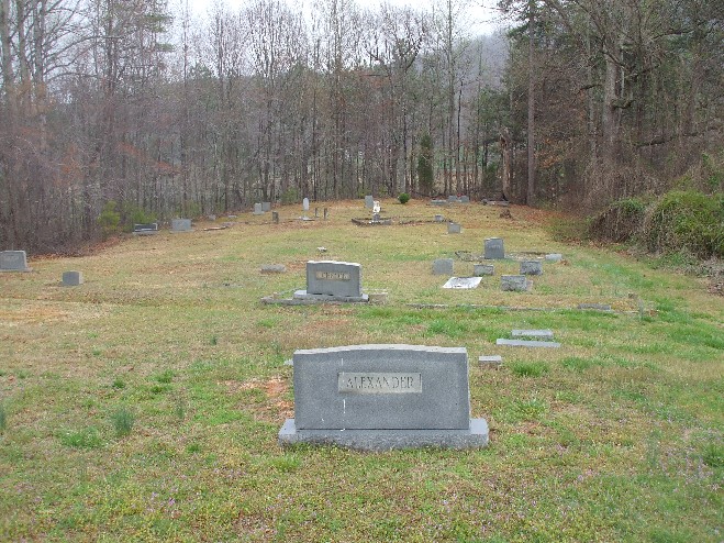
Abee Cemetery , Belmont , Gaston Co., NC. Directions - From Gastonia on I-85 North Take exit 27 for NC-273 toward Belmont/Mt Holly 0.2 mi Turn right at NC-273/Park St 0.3 mi Turn left at E Wilkinson Blvd 0.9 mi Turn right at Catawba St 0.2 mi Turn left at Old NC-7 and Cemetery is on the right. MAP | ||
 |
C.M. Abernathy Cemetery Gaston Co., NC From the square in McAdenville, take Hickory Grove Rd. (SR 2000) 2.6 miles. Left on Turner Rd. (SR 2005) seven-tenths of a mile. Site is about 50 feet. off left side of road.MAP | ||
 |
Directions - From Cherryville take NC 279 from NC 150 at the old Carolina Frieght building and go about 4.4 miles and turn left on Whitesides Rd. After you make the turn go about 2 miles and find a sign and the cemetery is on your left.MAP | ||
 |
Best Cemetery Gaston Co., NC From Dallas Courthouse, take Hwy.279 West, 3.4 miles. Left on Costner School Rd. (SR 1452) 1 mile. Left on White-Pasour Rd. (SR 1498) one-tenth of a mile. Right on paved road, three-tenths of a mile. Site is to your left.MAP | ||
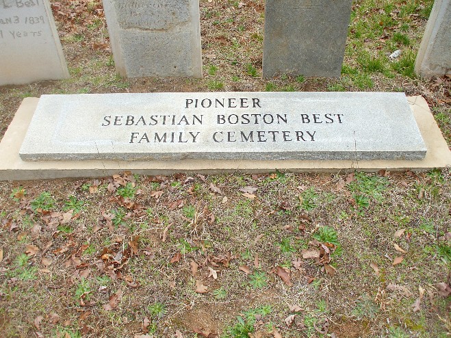 |
Pioneer Sebastian Boston Best Family Cemetery , Stanley , Gaston County, NC Directions - From Dallas Courthouse, take Hwy. 279 East four-tenths of a mile. Left on Hwy. 275, 2.9 miles. Right on Lineberger Rd. 0.8 mile. Right on Deepwood Rd., one-tenth of a mile. Site is to right.MAP | ||
 |
Samuel S. Black Family Cemetery , Cherryville , Gaston Co., Directions Take NC 279 from Cherryville toward Dallas. About 2 miles from Cherryville turn right on Helton Road and follow it for 1.2 miles. Turn left on Foster Road for 6/10 mile. Cemetery is at dead end of road.MAP | ||
 |
Chapel Grove Cemetery ,Gastonia , Gaston Co., Directions - from Gastonia Head west on. W Franklin Blvd (74) toward Kings Mountain. Turn left at S Linwood Rd 3.1 mi. Slight left at Chapel Grove Rd 2.0 mi. Turn left to stay on Chapel Grove Rd 0.1 mi. Cemetery is beside Chapel Grove Elementary School on your right. MAP | ||
 |
Clemmer Cemetery , Gaston Co., Directions - From Dallas Courthouse, take Hwy.279, West 3.2 miles. Left on White-Jenkins Rd. (SR 1456) seven-tenths of a mile. Site to left. MAP | ||
 |
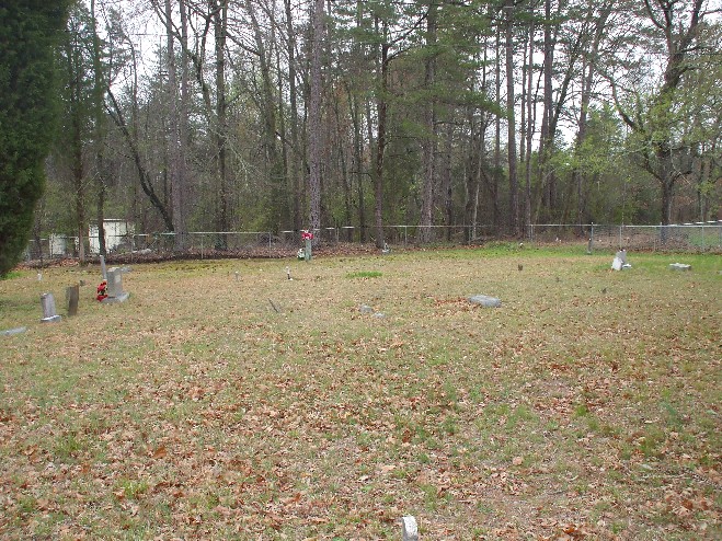
Cloninger Cemetery , Dallas , Gaston Co.,Directions - Directions - Junction of Hwy.321 & Hwy.279 take Hwy.321 North, 2 miles. Right on Cloninger Rd. (SR 1806) 3/4 mile to Cloninger Graveyard Road. Site 1/2 mile down paved and gravel road. Fenced and locked. MAP | ||
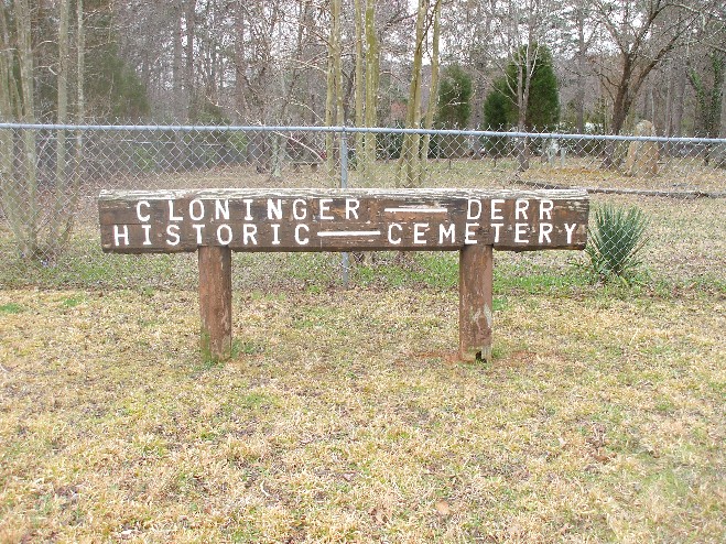 |
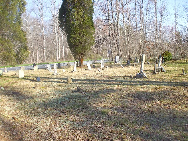
Cloninger - Derr Historic Cemetery , Stanley , Gaston Co.,Directions - On Hwy.27 West from Stanley right on Blacksnake Rd. (SR 1905) 1.5 miles toward Lucia. Site on right, before Stanley Creek.MAP | ||
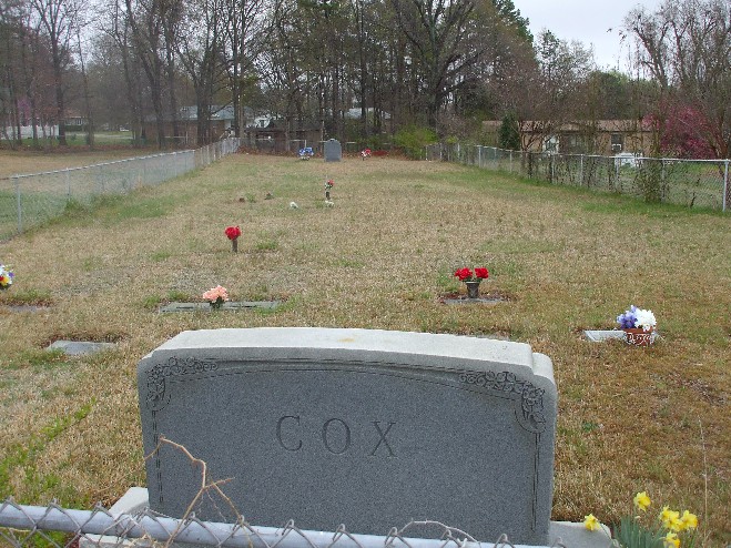 |
Edward D. Cox Family Cemetery , Lucia , Gaston County , North Carolina, Directions - From Gastonia Take US 321 North Continue on US-321 N 1.2 mi. Take the NC-275 E/NC-279 E exit toward Dallas 0.3 mi. Merge onto NC-275/NC-279/W Trade St 1.0 mi. Turn left at NC-275 5.1 mi. Turn right at W Dallas Rd 0.6 mi. Slight right at Old Mt Holly Rd 0.3 mi. Continue on Stanley Lucia Rd 5.5 mi. The Cemetery is located to the south of the New Covenant UMC Cemetery. It is enclosed by a chain link fence. MAP | ||
 |
Fleet Cox Family Cemetery , Mountain island , Gaston County , North Carolina, Directions - From Gastonia Take I-85 North Take exit 30 for I-485 0.4 mi. Keep left at the fork, follow signs for I-485 Inner N and merge onto I-485 N 5.6 mi. Take exit 16 for NC-16/Brookshire Blvd toward Newton 0.3 mi. Turn left at Brookshire Blvd/NC-16 N Continue to follow NC-16 N 3.2 mi. Turn right at Horseshoe Bend Beach Rd 1.0 mi. Turn right at Stonewater Bay Ln 0.4 mi. Turn left at Woodwinds Dr 0.1 mi. MAP | ||
 |
Craig Family Cemetery , Gastonia , Gaston Co.,Directions - From West Franklin Ave. (74) turn North Church Street go .02 miles. There is East Baptist Church and beside church there is a Gastonia Shiloh Cemetery. Craig Family Cemetery is beside Shiloh Cemetery. MAP | ||
 |
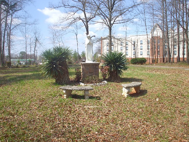
Flat Rock Cemetery , Mt. Holly , Gaston County , North Carolina, Directions - From Gastonia Take I-85 North Take exit 27 for NC-273 toward Mt Holly 0.2 mi Turn left at Beatty Dr/NC-273/Park St Continue to follow Beatty Dr/NC-273 1.6 mi. Slight right at S Main St 0.9 mi. Continue on Highland St 1.2 mi. Continue on N Main St 2.4 mi. Left Flat Rock Cemetery Road MAP |
||
 |
Gethsemane Baptist Cemetery , Gastonia , Gaston County , North Carolina, Directions - From Gastonia Head west on W Franklin Blvd (74) toward Kings Mountain 1.2 mi. Turn left at S Linwood Rd 3.1 mi. Slight left at Chapel Grove Rd 2.1 mi. Turn right at Old Church Rd 1.1 mi. Cemetery is on your left. MAP | ||
 |
Hoffman Cemetery ,Lowell , Gaston County, Directions - From Lowell take Spencer Mtn Rd. to Main St., turn left go to Pharr Yarns Spencer Mtn, Div. Cemetery is across the street marked by large stone.MAP | ||
 |
John Hoffman Cemetery ,Dallas , Gaston County, Directions - Start at Eastridge Mall in Gastonia Turn Right (North)from parking lot 246 N NEW HOPE RD, GASTONIA - go 2.6 mi Continue on LOWER DALLAS HWY(NC-279) - go 0.3 mi Arrive at John Hoffman Cemetery LOWER DALLAS HWY, DALLAS, on the Right there is a gravel road.MAP | ||
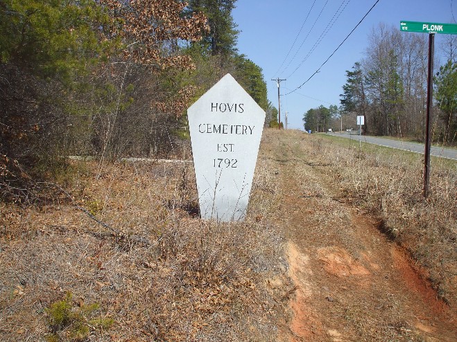 |
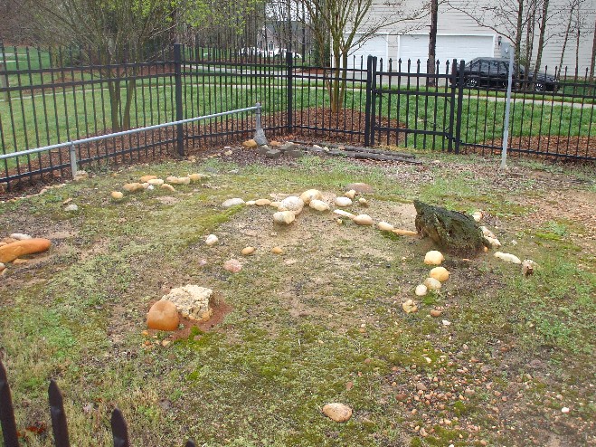
Hovis Family Cemetery . Gaston Co., From Downtown Gastonia take US-321. Continue to follow US-321 N. 7.9 mi. Take the HARDIN RD exit. 0.3 mi. Turn RIGHT onto HARDIN RD. 2.2 mi. Turn RIGHT onto OLD HARDIN RD. 0.1 mi. Turn RIGHT onto PHILADELPHIA CHURCH RD. 0.6 mi. Turn LEFT onto ALEXIS HIGH SHOALS RD. 0.8 mi. Turn LEFT onto PLONK RD (Portions unpaved).0.7 mi. Cemetery is own your left.MAP | ||
 |
Jackson Cemetery . Gaston County , North Carolina, Directions - This cemetery is located on Crowders Mountain. From Kings Mountain go east on US 29/74. About 3/10 miles after crossing over I85 turn right on Sparrow Springs Road. Go about 2 miles to the intersection of Mayberry Lane. Turn right on Mayberry for about 100 feet. Cemetery is on the right about 100 feet in side a chain link fence.MAP | ||
 |
Jenkins Cemetery . Gaston County , North Carolina, Directions - Site is in forks of Hwy. 279 & Hwy. 275, on Dallas - Cherryville Rd., about 1 mile from junction of Hwy. 321 & Hwy. 279. Only 12 names on Memorial Marker of the original of about 100. Site destroyed.MAP | ||
 |
Lincoln Academy Cemetery , Gastonia , Gaston County , North Carolina, Directions - From Downtown Gastonia Area Head west on W Franklin Blvd. (74) Toward Kings Mountain 4.5 mi. Continue on Kings Mountain Hwy 1.3 mi. Turn left at Womble Dr 151 ft. Turn left at Cv Alexander Dr 141 ft. Turn right at Lincoln Academy Rd 0.3 mi. Turn Left on Gravel Road They are Grading the Land. Site is about 30 yards down hill toward your right.MAP | ||
 |
Lineberger - Cannon Cemetery , Mountain Island , Gaston County , North Carolina, Directions - From Gastonia Take I-85 North Take exit 30 for I-485 0.4 mi. Keep left at the fork, follow signs for I-485 Inner N and merge onto I-485 N 5.6 mi. Take exit 16 for NC-16/Brookshire Blvd. toward Newton 0.3 mi. Turn left at Brookshire Blvd/NC-16 N Continue to follow NC-16 N 3.2 mi. Turn right at Horseshoe Bend Beach Rd 2.0 mi. Horseshoe Bend Beach Rd turns right and becomes Horseshoe Dr 0.4 mi. MAP | ||
 |
Lineberger - Clemmer Cemetery , Dallas , Gaston County, NC Directions - From Gastonia take US 321 North To C. Grier Beam Blvd. Turn left Go to next Traffic light just before Gaston College and Turn left on Technology Parkway. Go to End of road Cemetery is located left side of road up on a small hill. MAP |
||
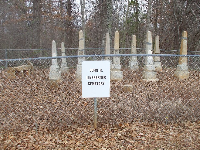 |
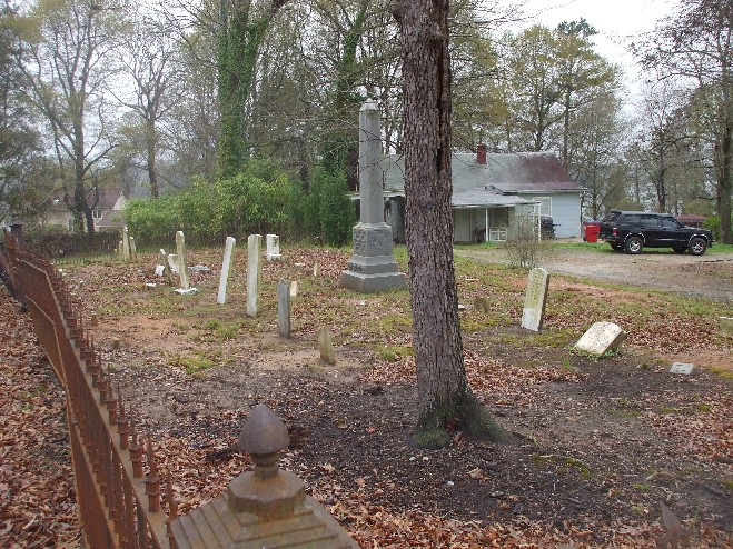
John R. Lineberger Cemetery , Belmont , Gaston County, NC Directions - From Gastonia take I-85 North Take exit 23 for NC-7 toward Mcadenville/Lowell 0.2 mi. Turn right at Main St/NC-7 Continue to follow NC-7 1.0 mi. Continue on Hickory Grove Rd 1.5 mi. Turn right at Woodlawn St 0.7 mi. Turn right at Belmont Ave 0.2 mi.MAP |
||
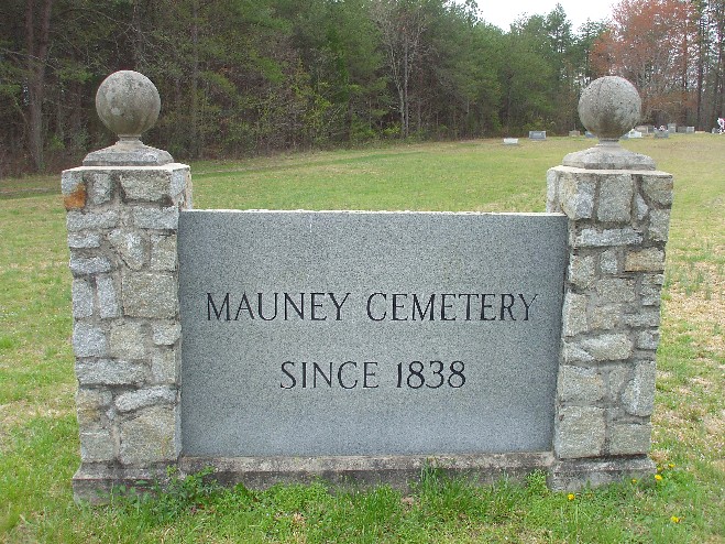 |
Mauney Cemetery , Stanley , Gaston County, NC Directions - From Gastonia Take US 321 North Continue on US-321 N 1.2 mi Take the NC-275 E/NC-279 E exit toward Dallas 0.3 mi Merge onto NC-275/NC-279/W Trade St 1.0 mi Turn left at Dallas-Stanley Hwy/NC-275 3.1 mi Turn left at Upper Spencer Mountain Rd 1.4 mi Turn right at Louise Dr 0.6 mi Turn left at Mauney Rd 0.3 mi .MAP |
||
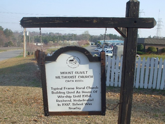 |
Mount Olivet Methodist Church Cemetery
Gastonia , Gaston County, NC Directions - Directions - From Gastonia Head West on West Franklin Blvd. toward Bessemer City. Turn right at Bessemer City Rd 1.7 mi. Turn right at Jenkins Dairy Rd 0.5 mi. Turn left at Mt Olive Church Rd 0.6 mi. MAP |
||
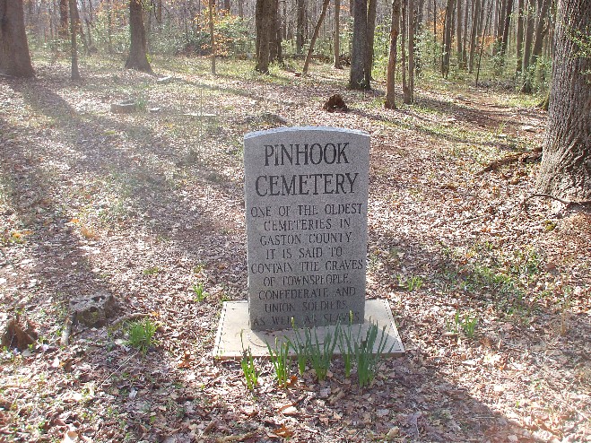 |
Pinhook Cemetery , Lowell , Gaston County, NC Directions - From I-85 take the Lowell Cramerton Exit. Take North Main St. 1.3 mile to Lineberger St. turn right this road ends up at the Lowell Elementry School (to gain Access go to School Office and get a Visitor Pass).There is a Gravel Path to Cemetery it is behind the school in the woods about 1/4 mile approx.MAP |
||
 |
Jacob M. Rhyne Cemetery , Dallas , Gaston County , North Carolina. Directions - From Highway US-321 in Dallas turn towards Cherryville. This is highway NC-279 where highway NC-279 Jct. with NC-275 w turn left on NC-275, west, 1.1 miles on left take Nelta Dr. go to top of the hill until you are in front of what appears to be a duplex's park on left, walk behind duplexs when you get to the back of the 3rd one turn left and go into the woods Cemetery is in a clearing in the woods.MAP | ||
 |
Saint Benedict Cemetery Gaston Co., Directions - From Gastonia Take I-85 North. Take exit 26 toward Belmont Abbey College At end of ramp at stop light. Turn left on Mcadenville Rd. Before next stop light turn left on gravel road.MAP | ||
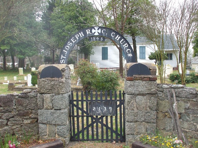 |
Saint Joseph's Catholic Church Cemetery , Mt. Holly , Gaston County , North Carolina, Directions - Directions - From Gastonia Take I-85 North exit 27 for NC-273 toward Belmont/Mt Holly 0.2 mi. Turn left at Beatty Dr/NC-273/Park St Continue to follow Beatty Dr/NC-273 1.6 mi. Slight right at S Main St 0.9 mi. Continue on Highland St 1.2 mi. Continue on N Main St 2.4 mi. Slight left at Mountain Island Hwy 0.3 mi. Sight is on your left before Sandy Ford Road. MAP | ||
 |
Stroup Family Cemetery , Dallas , Gaston County , North Carolina, Directions from Gastonia - Take US 321 North Continue on US-321 N 7.6 mi. Take the Hardin Rd exit 0.3 mi. Turn right at Hardin Rd 1.2 mi. Turn right at Fancy Hill Rd 0.9 mi. Turn left at Philadelphia Church Rd 184 ft. Turn right at Alexis High Shoals Rd 2.8 mi. Turn right at Rhyne Rd 0.8 mi. Cemetery right past Hunters Point Drive. MAP | ||
 |
Woods Family Cemetery , Gaston County , North Carolina, Directions - From Gastonia Take US 321 North Continue on US-321 N 7.6 mi Take the Hardin Rd exit 0.3 mi Turn right at Hardin Rd 1.2 mi Turn right at Fancy Hill Rd 0.9 mi Turn left at Philadelphia Church Rd 404 ft MAP |
|

This work is licensed under a Creative Commons Attribution 3.0 Unported License. |
|