| Return to the Blondell Home Page Here: |  |
Welcome to The
Blondel Plantation Page
| Return to the Blondell Home Page Here: | |
Blondel Plantations
*1The actual physical location of the Blondel Plantations in Saint Domingue is:
Habitation Blondel, Section rurale de Caracol, Caracol
Habitation Blondel, Section rurale de la Ravine
à Charles, Jérémie
"Section rural" rural section, is a territorial subdivision
of a township,
in this case the town of Caracol and the southern city of Jeremie.
These two plantations are in diametrically opposed areas of Haiti.
Here are two maps of the western section of the island of Hispaniola
which is
present day Haiti. While the Blondel family was there
this area was Saint
Domingue. Jean Marie Blondel was born in 1790 on
the Blondel plantation in Caracol and his wife, Catherine Aimee Celeste
DuBois was born in 1792 in Cap Français. The Blondel Family owned
two separate plantations in Saint Domingue. One was located near
the city of Jérémie which is on the southern peninsula, bordering
the Gonave Bay and the Caribbean Sea. Jérémie is the capitol
of Grand 'Anse. The second was near Caracol which is on the Northern
Coast, facing the Atlantic Ocean.
Caracol is just a short distance east southeast of Cap Haïtien.
Cap Haïtien
was Cap Français when the area was a French
colony. The approximate location of the town of Caracol has been
added to this map by us. It is designated slightly below and east
of Cap Haïtien. Jérémie has also been added by
us in slightly larger text above the original map text identifying the
town of Jérémie. The second map shows Caracol in the
the upper right-hand side near the border. It is designated by a light
orange circle. Below these two maps is information and links concerning
the
Blondel Plantation and Blondel family on Martinique. On the first
map several additional towns or cities have also been highlighted.
Citronniers has been highlighted as it is a town that is linked to the
Loche family in "Etat Detaille",
Gonaives is also marked as being another additional city associated with
the Blondel family property--again according to "Etat
Detaille" -- Grand Riviere is accented because it is associated
with the DuBois family. Cap Haitian is recognized because it was Cap Francais
when the colony was still under French rule and this is where Catherine
Aimee Celeste DuBois was born in 1792. Notice the relative short
distance between Grand Riviere, Cap Francais or Cap Haitian and Caracol.
Jean Marie Blondel was born in Caracol in 1790. In December
of 1812, Catherine DuBois would purchase her marriage license with her
groom, Jean Marie Blondel, in Baltimore, Maryland, USA.
Here is a link that has to do with the French government's actual value
of these properties and their owner's reimbursement entitlement. "Etat
Detaille"
An #4 interesting
bit of history that involved Caracol is that in early December 1492, Columbus
and two of his ships the Nina and Santa Maria arrived off the coast of
the island of Hispanola. While trying to navigate into Caracol Bay on the
northwest shore, the Santa Maria hit a coral reef and began to sink. The
next day, Christmas day, the crew members were able to remove the cargo
before the ship went down. Believing the tragedy was a sign from God, Columbus
decided to establish a colony on Hispanola and named it Navidad, the Spanish
word for Christmas. Thirty-nine men from his crew volunteered to settle
on the island. That early settlement was doomed to failure, but from
that day forward the future of the West Indies settlements and the native
population's destiny would forever be altered.
Saint Domingue or Haiti


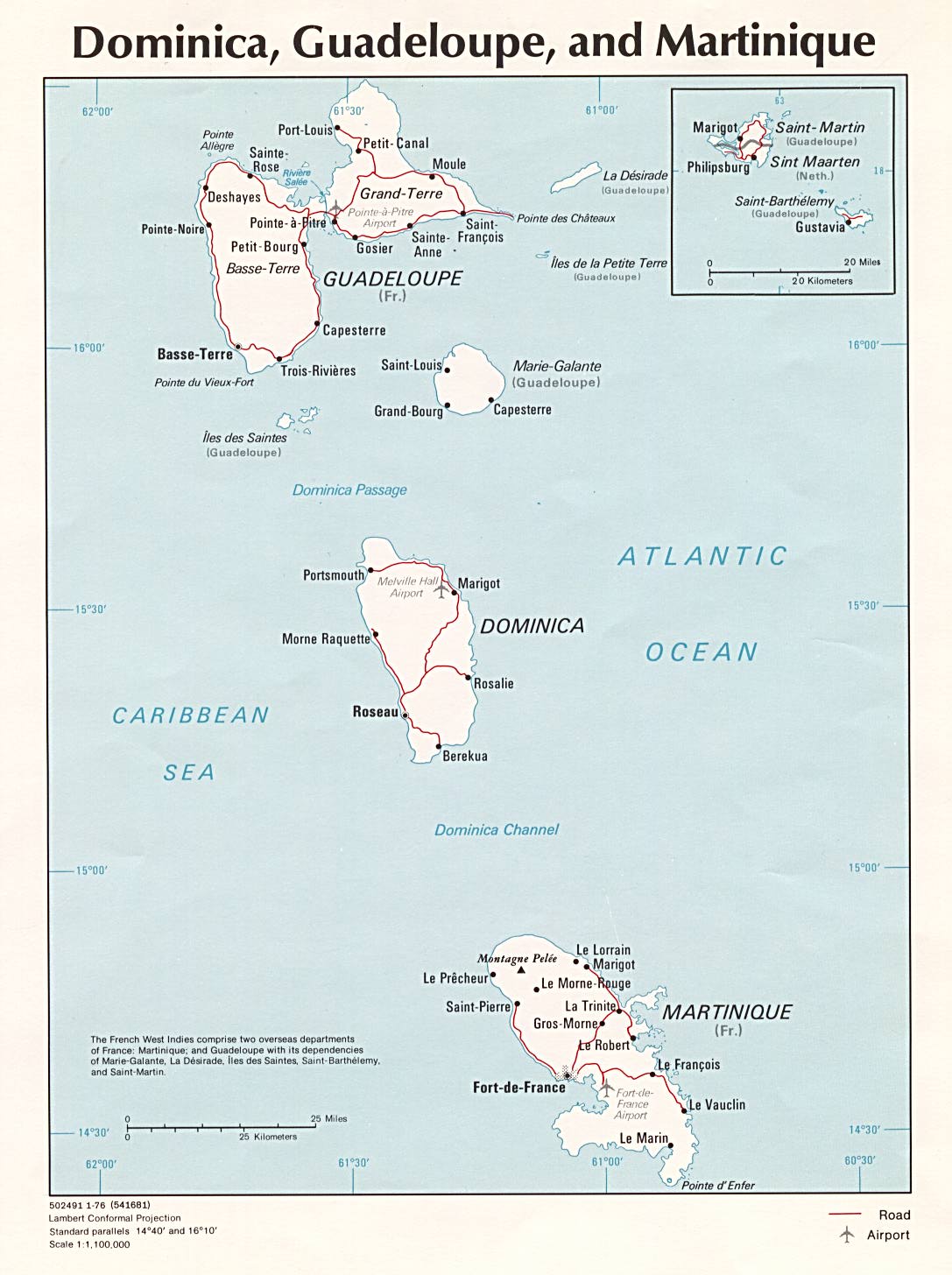
This is a link to a map of the island of Martinique. Martinique
There is yet another
plantation on this land mass that was named Blondel.
Martinique was primarily
controlled by the British during the slave revolts in the French
West Indies, albeit at the request of the French plantation owners in an
attempt to establish stability and control the slave revolts that also
occurred there in conjunction with the French
Revolution. *2 In fact
at one point in the history of Martinique, France sent ships complete with
guillotine and executioner to behead those loyal to the King of France.
The British would not allow them to enter Martinique ports and they simply
returned to France. This is a link to a brief history of Martinique:
History
of Martinique Most of the chronological history of Martinique
does record the island as being controlled by the French.
The land that was owned by a Blondel or Blondels is near the coast
between Saint-Pierre and Fort-de-France.
Whether or not there was a family relationship between Antoine
Blondel, who is the patriarch of the French Caribbean Blondels who immigrated
to the United States, and the Martinique Blondels is yet unproven, but
it seems as though it is safe to assume that there was. This is a link
to photographs of the abandoned plantation as it appears today and an indexed
list of French Blondels living on or associated with Martinque in the 16th
& 17th centuries.*3 Much of that information
was submitted by Jean Claude Blondel La Rougery whose ancestors were the
first Blondels on the island of Martinique. Blondels
on Martinique
The coordinates
where the property was located at are:
Latitude: 14°
44m 00s North; Longitude: 61° 10m 00s West
It is described as:
Name: Blondel
Feature: estate; a large commercialized agricultural
landholding with associated buildings and other facilities
Sources:
*1 The information
on the Blondel Plantations in Saint Domingue was submitted by Jean-Paul
Manuel. This material appears in the book, "Dictionnaire Géographique
et Administratif Universel d'Haïti" which was written by Jean-Paul's
maternal grandfather's paternal grandfather, Sémexant Rouzier and
was published in 1891. For additional information please contact
him at: [email protected]
or visit his web site at:
https://sites.rootsweb.com/~htiwgw/
*2 Eric Wilkerson may be contacted
at [email protected]
*3 The information on the Martinique
Blondel family was submitted by Jean Claude Blondel La Rougery.
Jean Claude may be contacted at [email protected]
#4 American
History