 Off-line site accessed via Archive.org. Note: These are not live sites. Off-line site accessed via Archive.org. Note: These are not live sites.
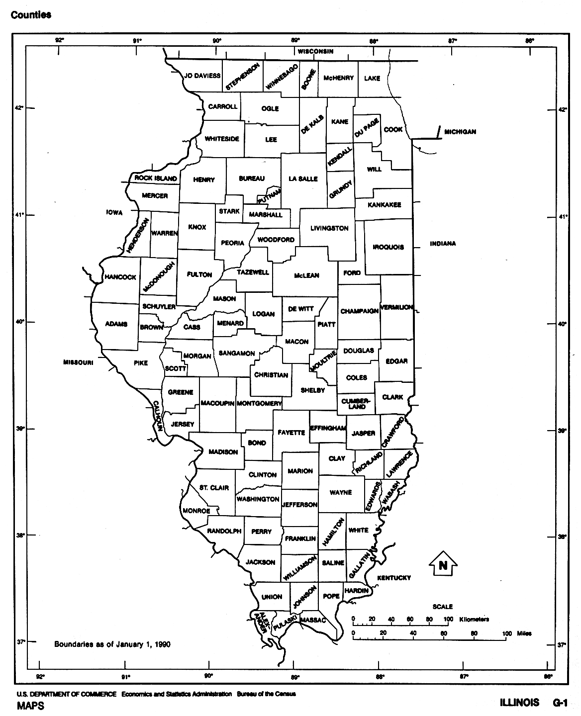
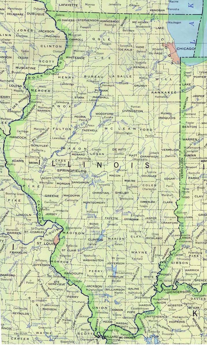
ILLINOIS
Removal of the American Indians - 1830-1835 . Maps.com.
County Formation Maps
from Northeastern Genealogy Online.
Illinois
County Boundaries 1790 - Present 29 maps from 1790 to present by
Michael Hebert. Click "back" a couple of times to return
here.
USGenWeb Digital Map Library for Illinois. Large map of Illinois 1875. 1940 County maps.
 From Univ. of Alabama Historical Map Index: From Univ. of Alabama Historical Map Index:
Henry
Co. IL USGenWeb page IL 1825, 1827, 1831 and 1836 (Gold Bug). Click "back" to
return here.
 From Pam Rietsch's 1895 Atlas site From Pam Rietsch's 1895 Atlas site
 From Univ. of Texas Library Illinois maps. From Univ. of Texas Library Illinois maps.
Continue to Indiana
State menu
Main page
Your suggestions for links are most welcome.
Send email to John Robertson.
|
