 Off-line site accessed via Archive.org. Note: These are not live sites. Off-line site accessed via Archive.org. Note: These are not live sites.
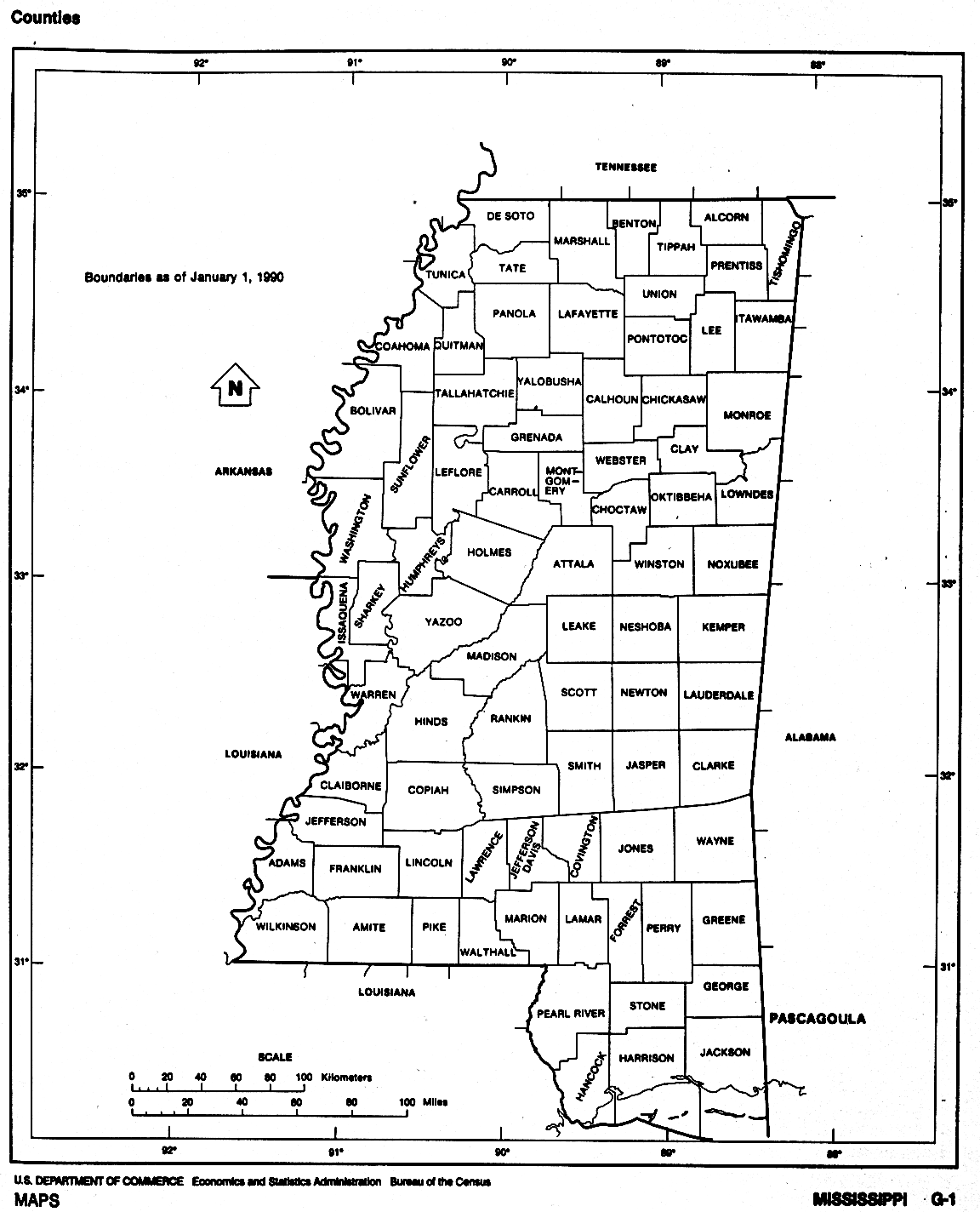
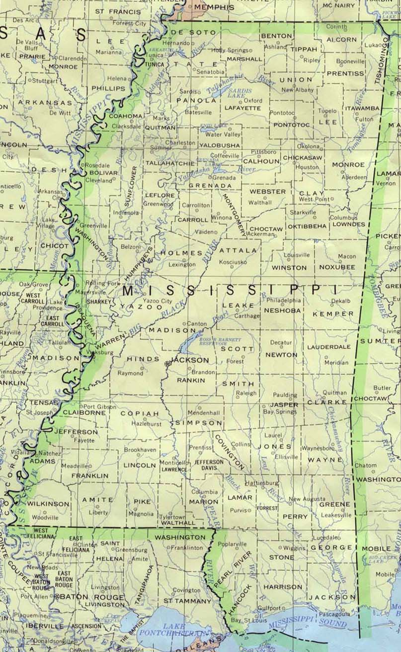
MISSISSIPPI
- Removal of the American Indians - 1830-1835 . Maps.com.
- County Formation Maps
from Southeastern Genealogy Online.
 From Univ. of Alabama Historical Map Index: From Univ. of Alabama Historical Map Index:
- USGenWeb Digital Map Library for Mississippi. Mississippi 1822, 1828, 1842, 1852, 1855, 1873, 1888, and 1907. Lots other interesting map not county-related.
- Jasper Co.
MS GenWeb page 1890 Indian cessions map (showing faint county
outlines). Click "back" to return here.
- Maps of MS Territory for 1798 and 1803 may be seen under Washington
Co. AL
 Hargrett Collection, U. of GA Large (493K), 1839, AR, TN, w.NC, SC, GA,
AL, MS, and LA. Click "back" to return here. Hargrett Collection, U. of GA Large (493K), 1839, AR, TN, w.NC, SC, GA,
AL, MS, and LA. Click "back" to return here.
- Bradford's
1835 map of MS and AL from The Maps Our
Ancestors Followed A TNGenWeb genealogy history project.
 From Pam Rietsch's 1895 Atlas site From Pam Rietsch's 1895 Atlas site
 From Univ. of Texas Library Mississippi maps. From Univ. of Texas Library Mississippi maps.
Continue to Missouri
State menu
Main page
Your suggestions for links are most welcome.
Send email to John Robertson.
|
