 Off-line site accessed via Archive.org. Note: These are not live sites. Off-line site accessed via Archive.org. Note: These are not live sites.
NEW MEXICO
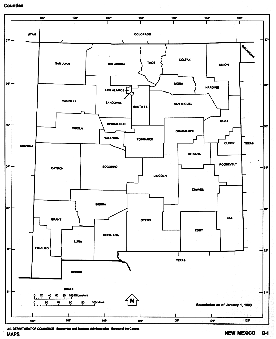
- New Mexico County Boundaries. 1850, 1852, 1860, 1870, 1880, 1890, 1895, 1903, 1910, 1921, 1978, 1981. From Chaves Co. NM USGenWeb page
 From Univ. of Alabama Historical Map Index: From Univ. of Alabama Historical Map Index:
- Mitchell's
1872 West Indian Nations map from Pam Rietschs (she of the
 1895 atlas).
From 1872 County Map of
Colorado, Dakota, Indian Nations, Kansas,
Montana, Nebraska & Wyoming 1895 atlas).
From 1872 County Map of
Colorado, Dakota, Indian Nations, Kansas,
Montana, Nebraska & Wyoming
- Colorado, Utah, New Mexico, and Arizona" by Warner and Beers, ca. 1874. From Northern Arizona University
 From American Memory at Library of Congress: From American Memory at Library of Congress:
- From Pam Rietsch's 1895 Atlas site
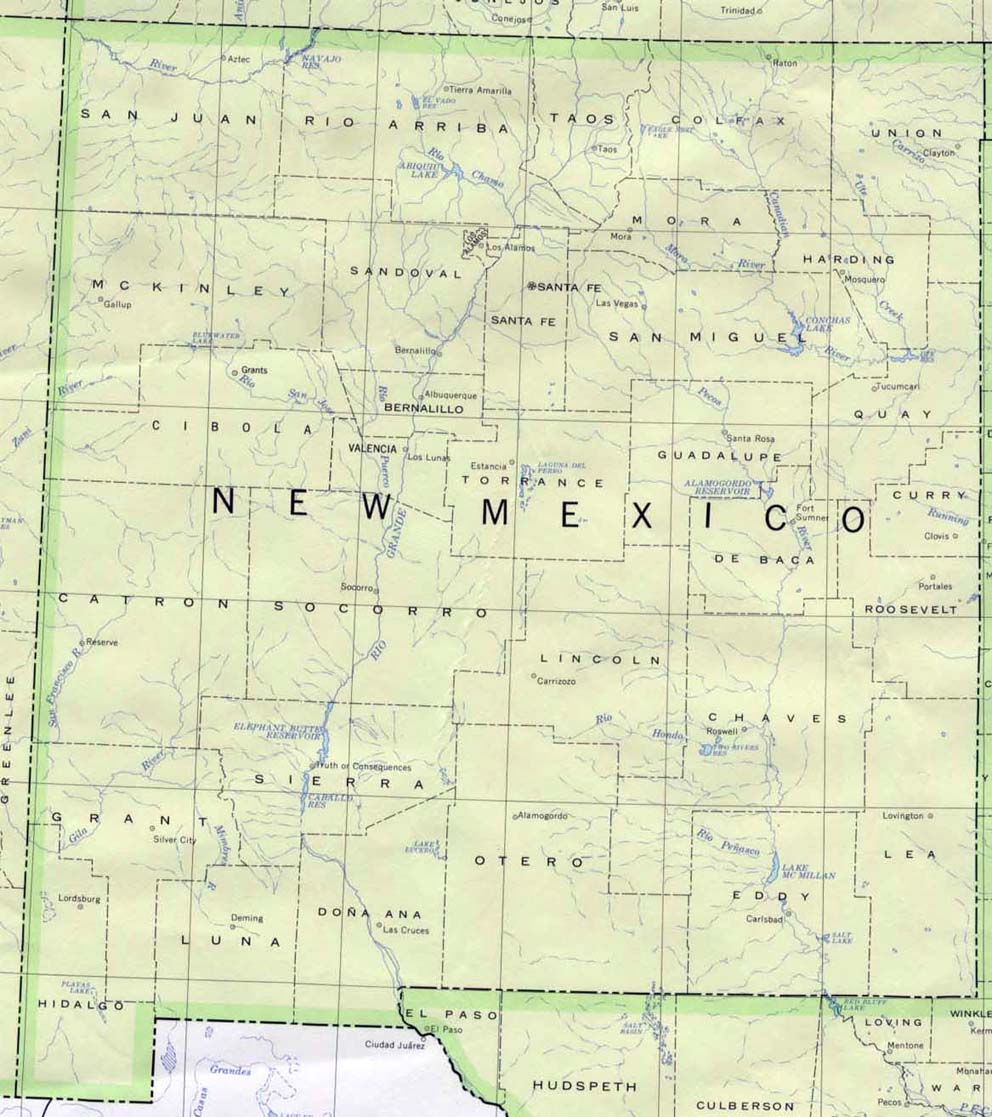
 From Univ. of Texas Library New Mexico maps. From Univ. of Texas Library New Mexico maps.
Continue to New York
State menu
Main page
Your suggestions for links are most welcome.
Send email to John Robertson.
|
