 Off-line site accessed via Archive.org. Note: These are not live sites. Off-line site accessed via Archive.org. Note: These are not live sites.
UTAH
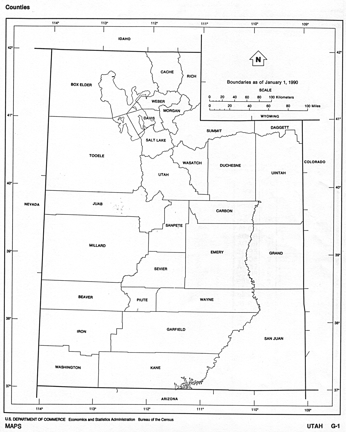
- USGenWeb Digital Map Library for Utah. Utah 1874, 1876, 1895. More interesting maps here.
- Chart of County Formation in Utah & Extinct Counties
 From Univ. of Alabama Historical Map Index: From Univ. of Alabama Historical Map Index:
- Colorado, Utah, New Mexico, and Arizona" by Warner and Beers, ca. 1874. From Northern Arizona University
- Washington Co. UT USGenWeb page UT 1861, 1864, 1866, 1872, 1872, 1882 and
1894. (Gold Bug). You will need to
click on "back" to get back here.
 From American Memory at Library of Congress: From American Memory at Library of Congress:
- San
Juan Co. UT USGenWeb page, UT maps for 1861, 1864, 1872 and 1880.
(Gold Bug). You will need to click on
"back" to get back here.
 From Pam Rietsch's 1895 Atlas site From Pam Rietsch's 1895 Atlas site
 From Univ. of Texas Library Utah maps. From Univ. of Texas Library Utah maps.
-
Preliminary Website for the Utah and Nevada volume of the Atlas of Historical County Boundaries. Can only be used with IE and high-speed access. Not very useful yet, but could become of interest. From Web Mapping at BYU Geography
Continue to Vermont
State menu
Main page
Your suggestions for links are most welcome.
Send email to John Robertson.
|
