16th Century Map of South Derbyshire, showing "Graiesley"
Click on the thumbnail map below for a larger version (318k - LARGE)
Burdett's 1791 Map of Derbyshire showing Church Gresley and surrounding
parishes (138k)
Click on thumbnail map below for a large scale version.
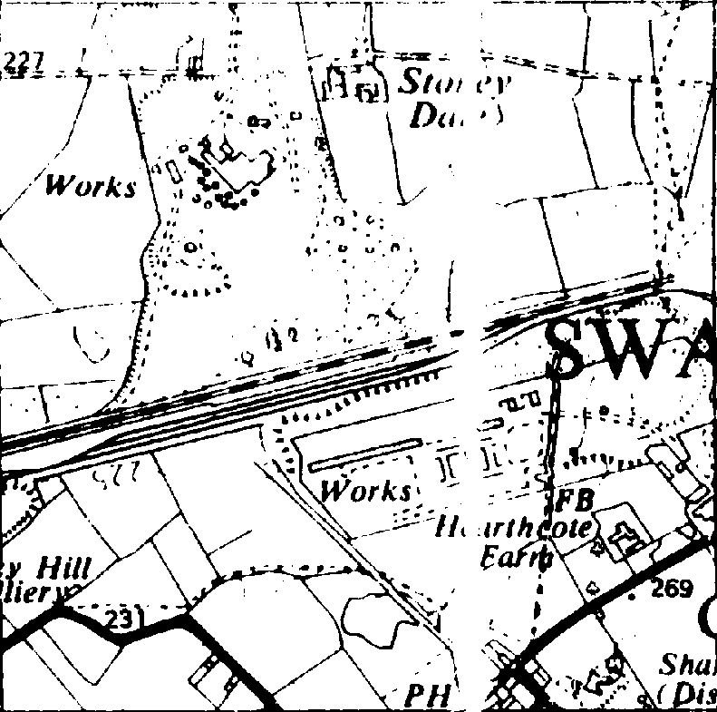
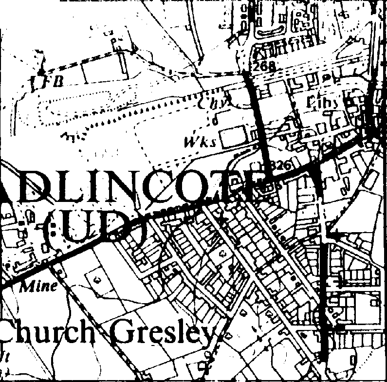
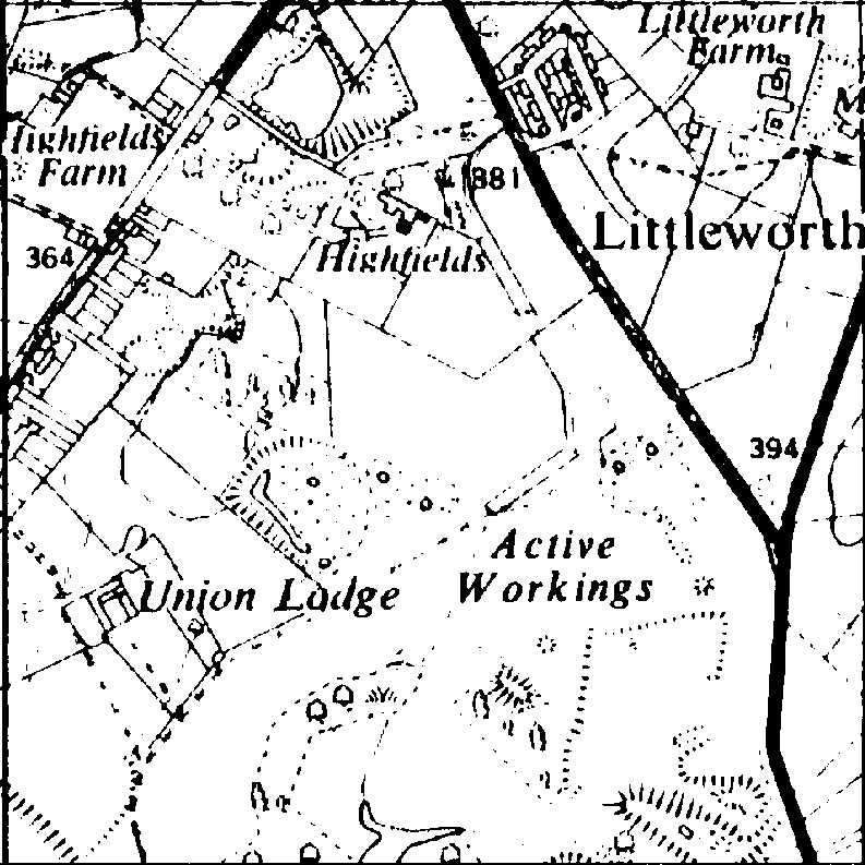
Ordnance Survey 1:10,560 (6":1 mile) Maps c.1887-1888 of Church
Gresley
Click on the thumbnail sketches below to access the full-size original
maps from the Ordnance Survey web site (160-220k each).
N.B. The best way to examine these maps is to save the files from the
OS site on your hard disk for viewing or printing at leisure.
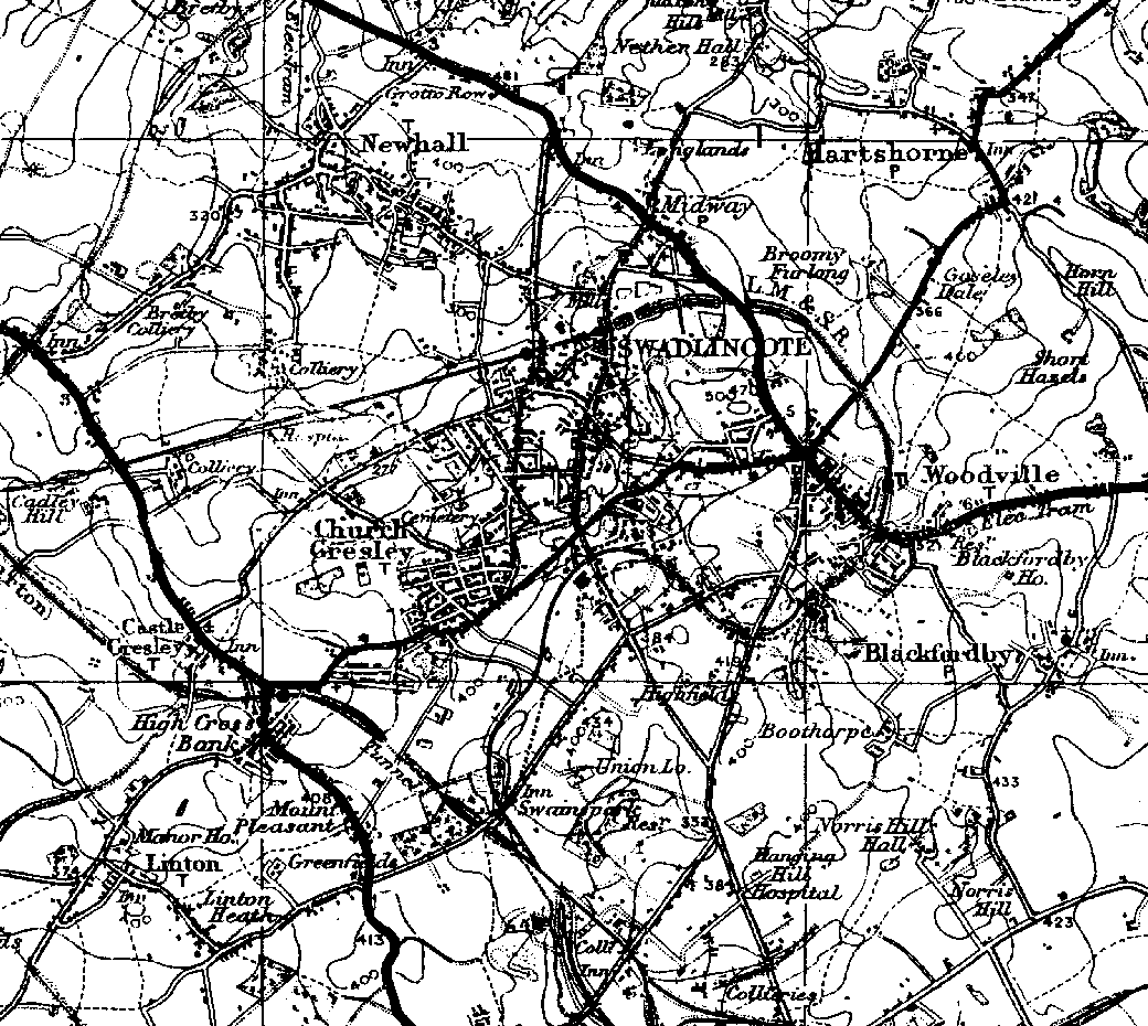
Ordnance Survey 1":1 mile (1:63,360) Map (1934) of Church Gresley
and surrounding district (70k)
Click on thumbnail map below for a larger scale version.
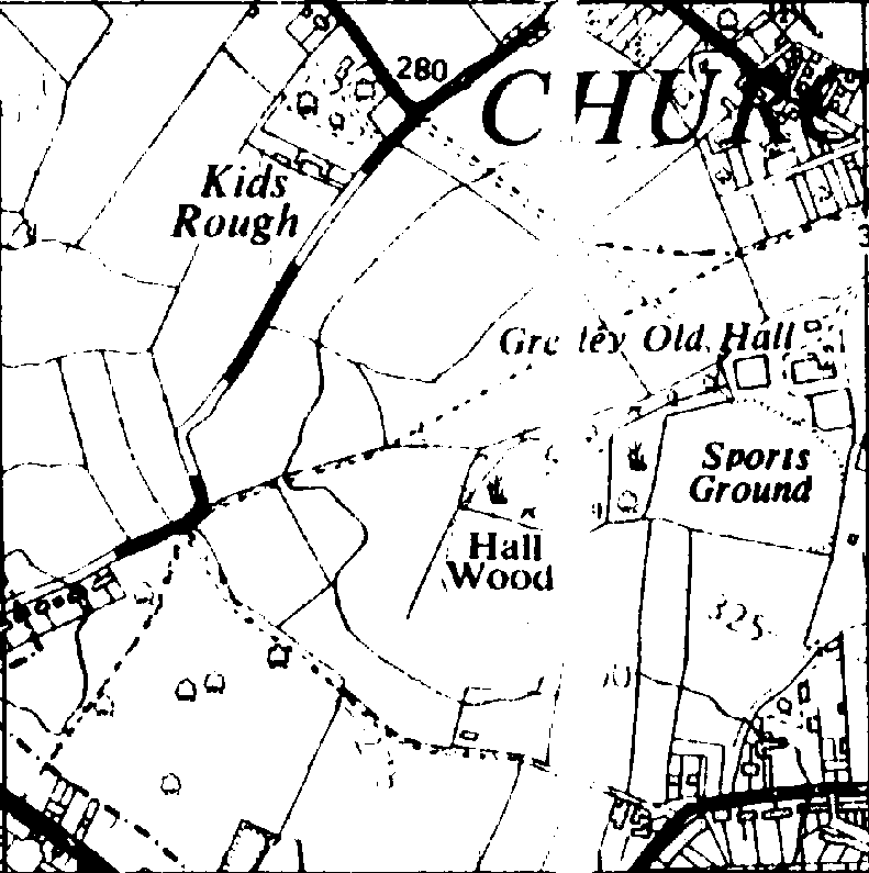
Ordnance Survey 1:25 000 Map (c1970s) of Church Gresley village
(about 40k each)
Click on the thumbnail sketches below to see larger scale versions.
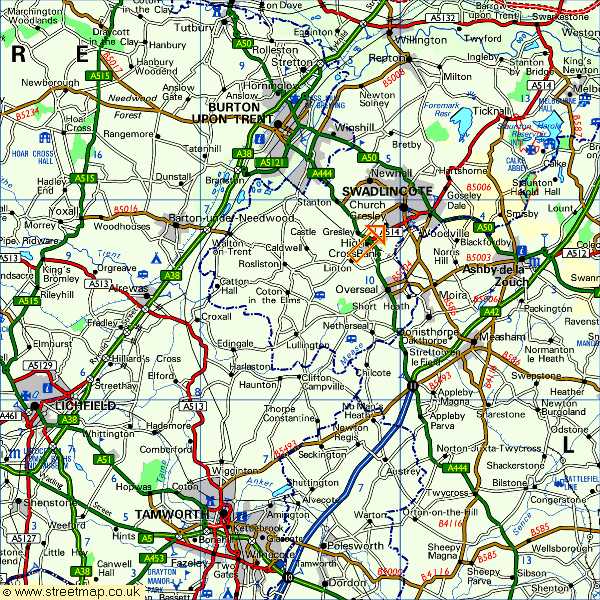
Modern UK Street Map of South Derbyshire, showing the location of
Church Gresley
Click on thumbnail map below for a larger image.